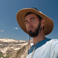
Jason Barnes
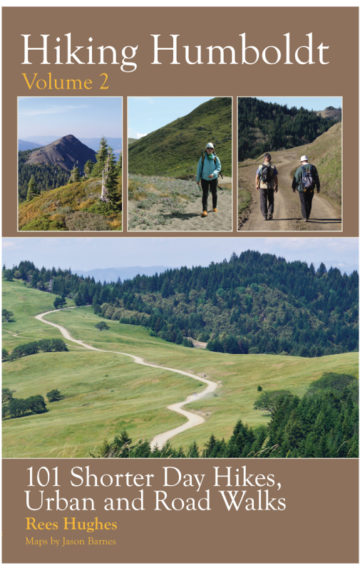
Originally from Michigan, Jason traveled west as a teenager to get a taste of the mountains. He was immediately hooked and soon began working seasonally in Yosemite National Park while also pursuing backpacking, rock climbing, and photography. While working for the National Park Service he was introduced to Geographical Information Systems (GIS). Soon after, he moved to Northern California to attain a certificate, and later a Masters in GIS. He served as an officer for the Northern California region of the American Society for Photogrammetry & Remote Sensing (ASPRS) for five years. While living in Humboldt County, Jason discovered the Trinity Alps Wilderness and Klamath Mountains and began using his GIS skills toward citizen science projects involving lake bathymetry, glacier monitoring, and trail advocacy. When not hiking in the wilderness, he can be seen cycling the trails and roads of Humboldt County, exploring backroads on his dual-sport motorcycle, or capturing footage with his quad-copter. Jason is the co-author of the newest Bigfoot Trail map set V2.2015 and the cartographer for Hiking Humboldt V1 & V2.


