Order $75 or more and get FREE SHIPPING Dismiss

An independent publisher of web and print media. Printed ♻️ in the 🇺🇸.

Back Country Press logo

Cart

  • Classes
    • Arborist CEUs
  • Products
    • Books
    • Gift Card
    • Book Resources
    • Sale Items
    • Posters
    • ID Guides
    • Free Downloads
    • Hats
  • Authors
  • News
    • Podcast
  • About
    • Calendar
    • Vendor Sales
    • Newsletter
    • Scholarships
    • Find Our Books
  • My account
    • Orders
    • Downloads
    • Checkout
    • Lost Password
    • Login
Home » Hikes in Hiking Humboldt Volume 1 » Hike 47: Upper Bull Creek

Hike 47: Upper Bull Creek

Upper Bull Creek
Upper Bull Creek

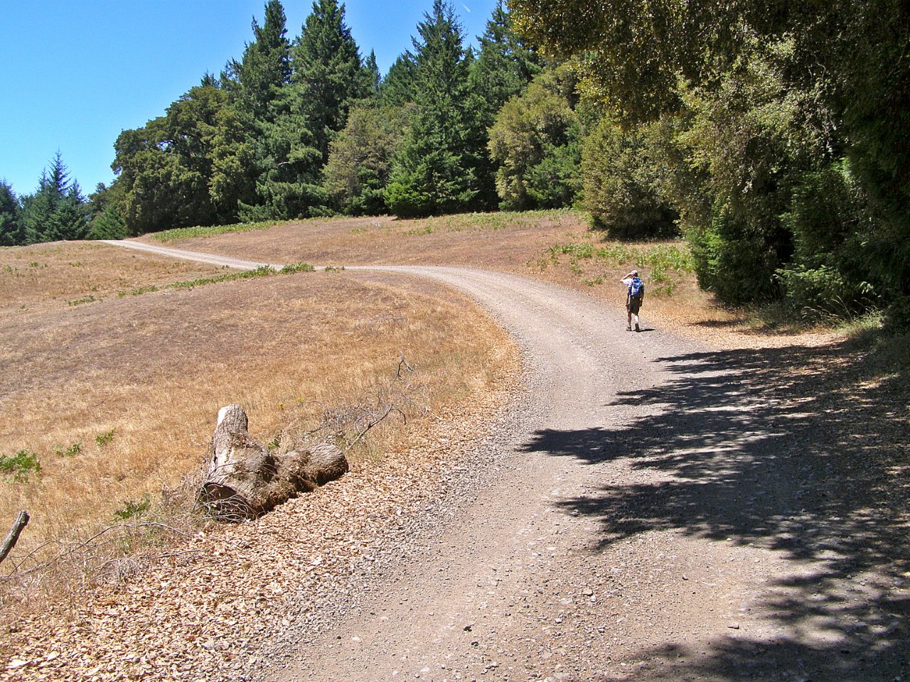
The Upper Bull Creek route traverses miles of seldom-visited terrain in the southwest corner of the park. Most of it is dense, second-growth, mixed-evergreen forest with patches of prairie; scattered redwood groves; and some impressive, old Douglas-firs along the way. It drops 2000 feet to Bull Creek over the first few miles, then follows the creek upstream before climbing back out of the valley; over half the elevation is regained between miles 5 and 8 but it’s mostly shaded and surprisingly easy. The last leg includes some spectacular views of the King Range. The downside of this hike is that the last few miles are on a road, and there can be quite a bit of speedy traffic associated with local pot farms.

Humboldt Redwoods State Park: info@parks.ca.gov, 707-946-2409

Bird Lists
Book Resources
  • Hiking Humboldt Volume 1 book
    Hiking Humboldt Volume 1 book
    $24.95
    Add to cart
  • Hiking Humboldt Volume 1 book + eBook
    Hiking Humboldt Volume 1 book + eBook
    $34.95
    Add to cart
  • Hiking Humboldt Volume 1 eBook
    Hiking Humboldt Volume 1 eBook
    $15.95
    Add to cart
  • GPX Tracks: Hiking Humboldt Volume 1
    GPX Tracks: Hiking Humboldt Volume 1
    $9.95
    Add to cart

Comments

  1. Ken Burton says

    June 9, 2016 at 8:51 am

    I recently received a report from someone who did this hike that he and his companion were accosted on the Perimeter Trail by armed men who said they were trespassing and escorted them out of the area. This trail does cross some private property, but park law enforcement assures me that the park has an easement across it and that the entire trail is open to the public. I was told to advise people to call 911 if they encounter any trouble. I have no idea what cell service is like there, but at least the trail is on a ridge, which improves the odds.

    Reply

Leave a Reply Cancel reply

Your email address will not be published. Required fields are marked *

Events

Join Our Newsletter, get 10% off

* indicates required

Our most recent Podcast

Trivia Challenge: Wildflowers of the Klamath Mountains

https://backcountrypress.com/podcast-player/21109/trivia-challenge-wildflowers-of-the-klamath-mountains.mp3

Download file | Play in new window | Duration: 19:11 | Recorded on July 8, 2022

Recent Posts

  • Feed June 1, 2025
  • The Evolution of Trees of California: From Jepson to Today May 20, 2025
  • Mapping the Hidden Forest May 2, 2025
  • Discover California’s Native Trees: A Guide to the Arboreal Wonders of the Golden State April 26, 2025
  • Second Edition of Hiking Humboldt Volume 2 by Rees Hughes Now Available! March 2, 2025

Product tags

Botany California Cascadia Conifers Desert ecology ectotherms explorations field guide Fire Fire Ecology Forest pathogens Fungi Geology Hiking Hiking Guide Humboldt County Identification Card Invertebates Klamath Mountains Klamath Mountians Lassen Volcanic National Park Literature Mammals mushrooms Natural History Oregon Pacific Crest Trail pathogens Pines Plant Exploring Plants redwood forest Rivers road guide sea vegetables Seaweed Trees Trinity Alps Vernal Pools Washington wildflowers

RSS Follow Backcountry Press updates

GIft Card from BCP

bookstore