Updated Hiking Maps
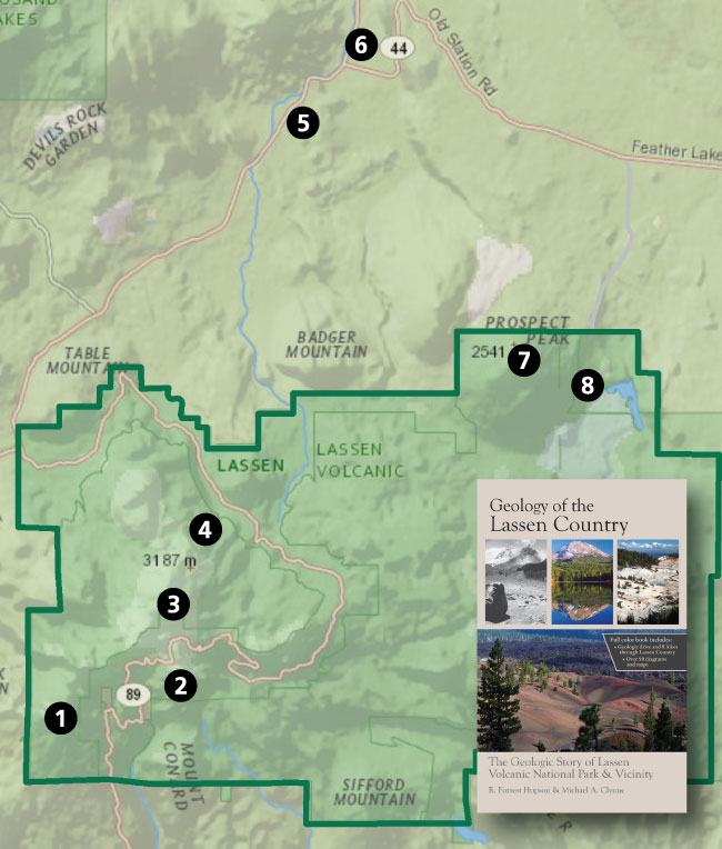
The book’s trail guide showcases the geologic history of the Lassen country. We have selected hikes that provide examples of the Lassen Volcanic Center and regional geology. USGS 1:24,000 scale maps show the trails and parking locations. The guide is illustrated but watch for references to figures and tables in previous chapters. Also, important background information about the geology in each hiking guide is discussed.
The guide is not intended to be a rock and mineral collecting guide. Please note that collecting natural features in Lassen Volcanic National Park is illegal and can be done only with a special permit.

Since the book’s publication, Forrest Hopson has updated the hiking maps and overlain them with geologic layers. Download them all and bring them on your next adventure to the Lassen Country!


Greetings Fellow Backcountrians,
I know it’s considered rude to “look a gift horse in the mouth,” but I thought you’d like to know that the two pages of the Subway Caves map set are duplicates. I’m guessing you intended to have a geology quad portion as the second page as the others, but, unfortunately, you’re cartographically “walking in circles.” (Pardon the Dad Joke.)
Happy Holidays to you all,
/jb
Thanks Jim- I’ll talk with Forrest and we will get it fixed.
Not rude at all, James! Thanks for letting me know. Happy Holidays to you too!